Ukraine - Lynx GIS Adviser
Updated October 2021
Ukraine has three distinct zones of hydrocarbon potential, and Lynx now offers a separate Adviser for each zone:
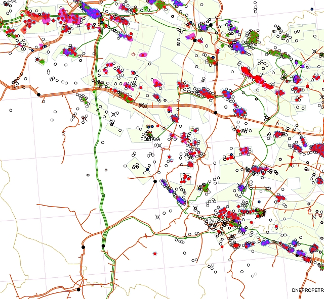
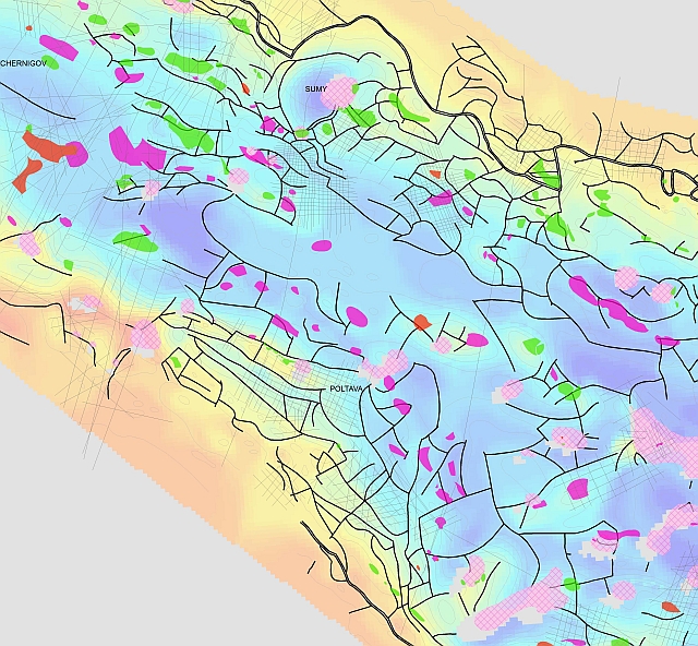
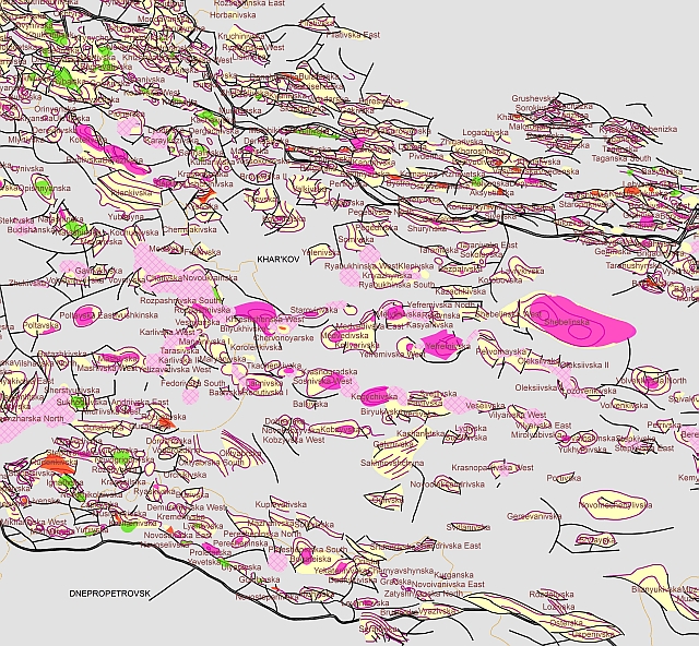
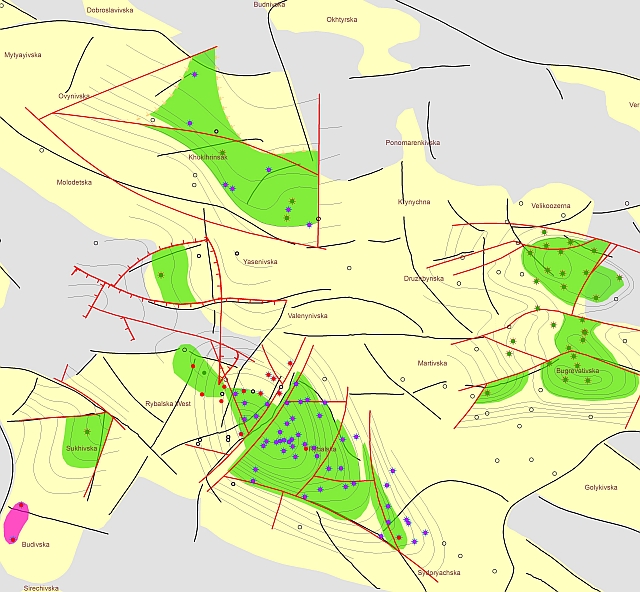
Ukraine - Dneiper-Donets Basin
The Dnieper-Donets Basin in north-eastern Ukraine has attracted international attention - a report by the USGS (Ulmishek, 2001) cites discovered reserves of 11 Billion BOE.
A single, Palaeozoic Petroleum System is defined; source rocks are found in the Visean and Devonian and are predominantly highly mature and in the gas window. However, in the north-western part of the basin there are also oil fields. Main reservoirs are in the Upper Carboniferous to Lower Permian and the largest field cited contains 18 TCF gas.
More than 220 fields have been discovered in the Dneiper-Donets Basin.
This ArcGIS enabled report will allow the explorationist to review and evaluate all the basic data elements for successful ventures.
The study includes:
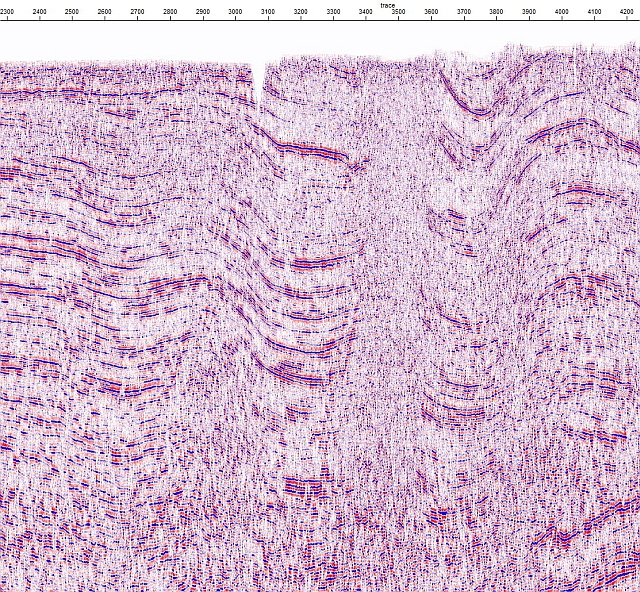
- Digital seismic data - 1600km
- Wells database (2400+)
- Digital well logs
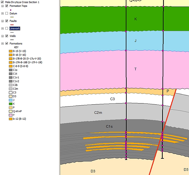
- Cross-sections (280+)
- SRTM elevation
- Satellite imagery
- Structure and Reservoir maps
- Blocks and licence awards
- Production information
- Fields database
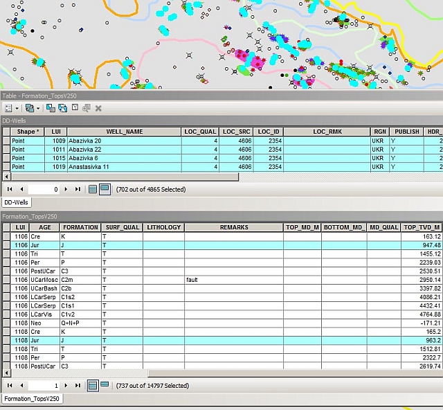
- Formation Tops
Ukraine - Black Sea
The Ukrainian Black Sea zone includes around 40 known fields onshore and offshore. The Ukraine Black Sea Adviser contains at least one representative structure map for each field, plus cross-sections and extensive field information in associated data tables, which can be easily accessed in ArcGIS Desktop using the Lynx Clickrelate tool.
In addition to the Fields Database, this Adviser contains Licenced Block and Concession information, over 400 attributed well locations, formation tops derived from cross-sections and well locations, and reservoir extent maps.
Ukraine - Carpathians
The Ukrainian Carpathians include over 90 known fields. The Ukraine Carpathians Adviser contians at least one representative structure map for each field, plus cross-sections and extensive field information in associated data tables, which can be easily accessed in ArcGIS Desktop using the Lynx Clickrelate tool.
In addition to the Fields Database, this Adviser contains Licenced Block and Concession information, over 1800 attributed well locations, formation tops derived from cross-sections and well locations, and reservoir extent maps.
As with all Lynx GIS Exploration Advisers, training, installation and data integration services are offered to clients to enable the full potential to be fully harnessed.
Contact us for further information or to arrange a demonstration.

