East Africa - Lynx GIS Adviser
Eritrea - Kenya - Madagascar - Mozambique - Oman
Seychelles - Somalia - Sudan - Tanzania - Yemen
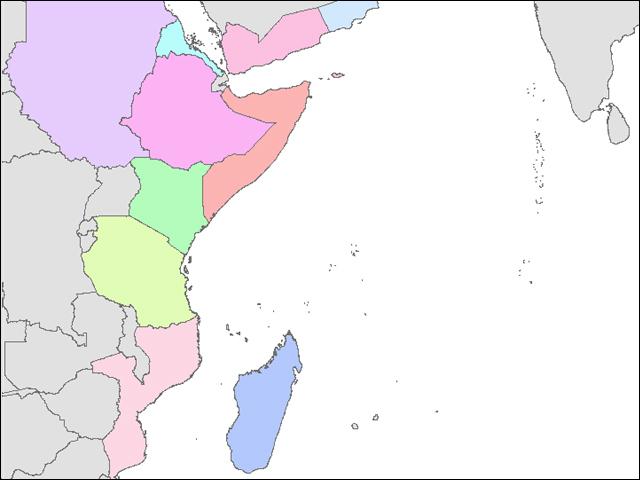
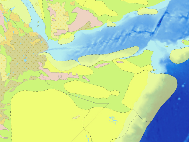
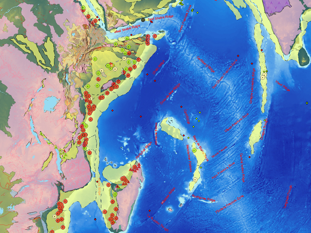
This report has been developed using ESRI ArcGIS software and contains a variety of exploration themes for coastal and offshore areas of East Africa, the Arabian Peninsula and western Indian Ocean
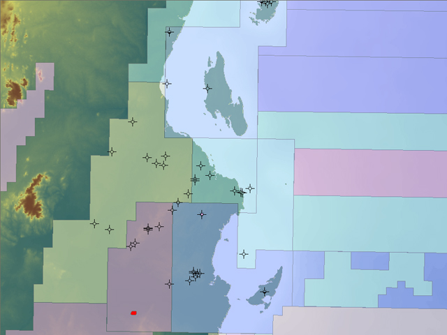
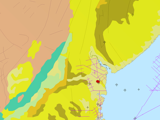
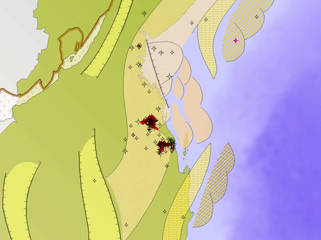
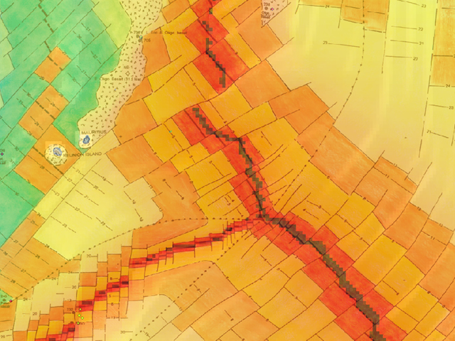
Exploration themes included for each of the countries include: Wells, Fields, Concessions, Pipelines, Surface Geology, Gravity, Landsat, Drainage, Country outlines, Bathymetry and processed srtm (90m) elevation data. there are also additional themes for transport infrastructure (roads and railways), towns, villages and administrative areas.
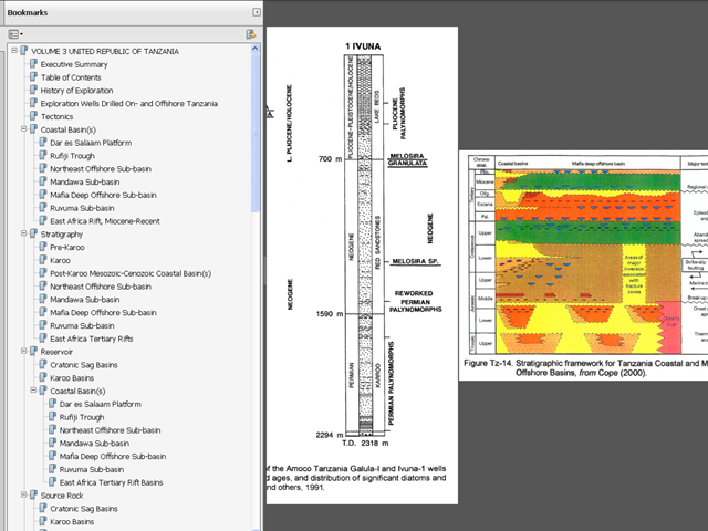
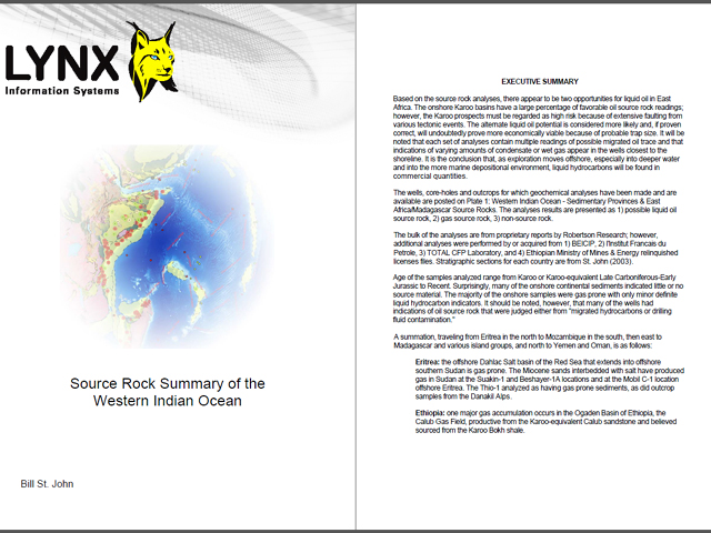
The Adviser also includes a fully searchable 800-page digital report as PDF containing 12 volumes written by Bill St. John - an acknowledged expert on East African geology and exploration. The first volume covers plate tectonics and paleogeology of the region. Volumes 2-12 contain country specific information for all of the above listed countries and also areas of the Western Indian Ocean where carbonates occur over volcanics (British Indian Territory, Comoros, Laccadives Archipelago, Maldives, Mauritius, Mascarene Plateau and France-claimed islands). The country-specific volumes include sections on exploration history, tectonics, stratigraphy, reservoirs, source rocks, seals, traps, plays & prospects, and proven & potential reserves. Background information including terms and conditions for exploration is also given.
The report is well illustrated and contains a rich variety of maps, cross-sections, seismic sections, stratigraphic sections and well summaries. where appropriate maps from the report have been extracted and georectified, these are available as layers which can be inserted into the GIS. These map layers include concession history, seismic line indexes, tectonic framework, sediment thickness, leads, prospects etc.
Please contact us for a detailed listing.

